The Ideas
The discussion began by touching upon on the importance of openness when it comes to geospatial data. Experts highlighted the significance of data and how pivotal it is to transmit data so that countries and their policies are not at odds with biodiversity plans. Using the metaphor of “the village”, one expert heartily addressed the participants and asked them to think the unthinkable: the village of Villars in crisis. Naturally, this would prompt the Villars community to mobilize. Our global “world village” is in crisis today. Information and intelligence about the Earth, which is foundational for the ability to solve problems, should be shared in an open way so that everyone can benefit. This brings us to geospatial data. Geospatial data was defined as not just stemming from satellites, but from air born sensors, people, and observations.
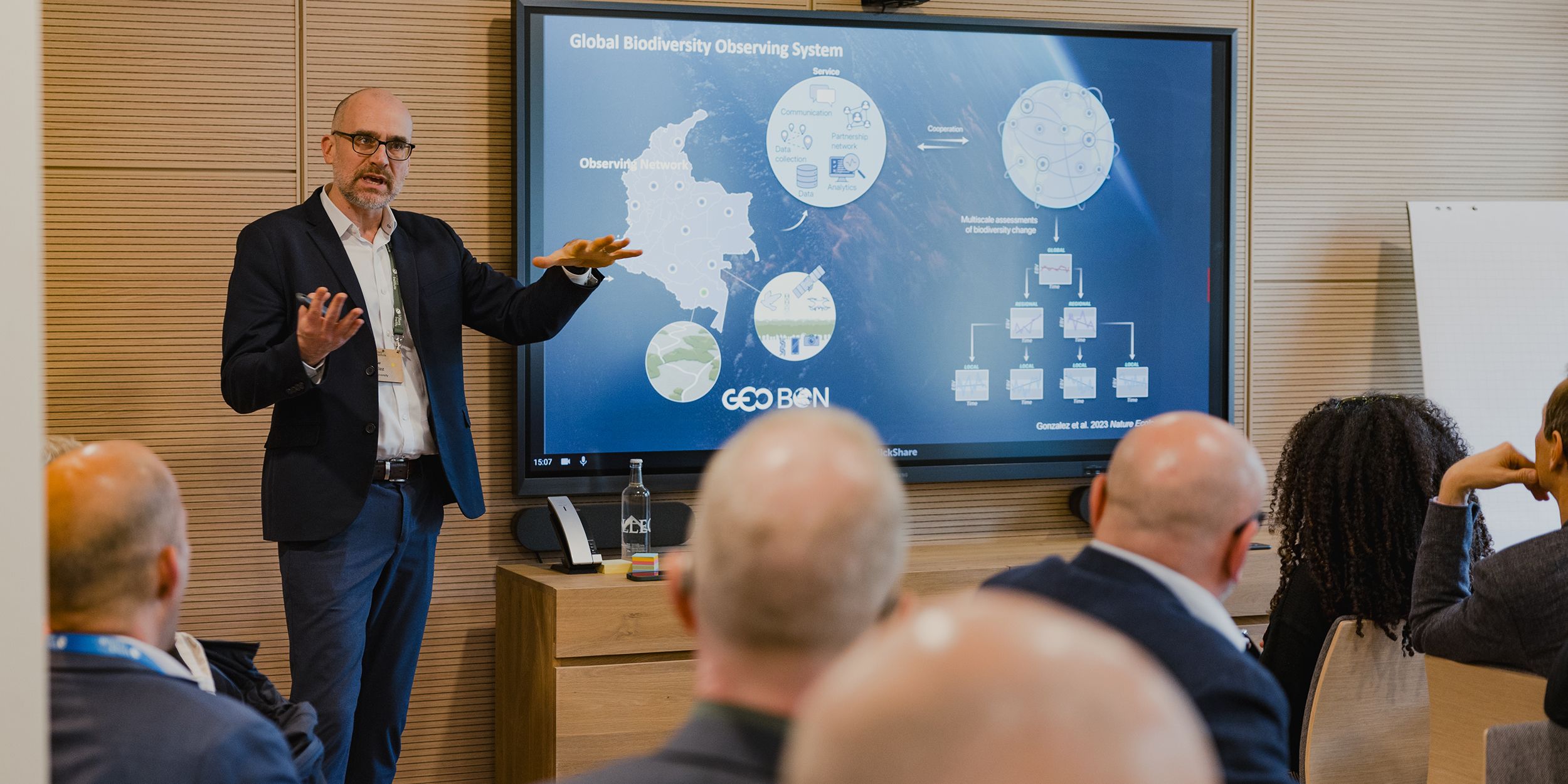
One focus discussed was establishing a global system for biodiversity data. Participants were posed the question of whether they had ever taken a photo of wildlife on their phones. And more importantly, if they had ever shared this photo on a science application. The interconnectivity of the data revolution surrounding biodiversity was depicted through an impressive graphic displaying all of the information that came into the Global Biodiversity Information Facility. One key theme was the importance of local communities as huge contributors to our biodiversity geospatial data. All of the experts conveyed the gravity of creating a global collective commons that would be revolutionary to geospatial biodiversity data.
But they also emphasized that this can only be achieved through togetherness. We have the technological power to build a real-time biodiversity monitoring system for the globe. The discussion dove into how geospatial biodiversity data is collected, from shoebox satellites in the earth to eco-acoustics. Even the singular sound of a bird is indicative of the state of our planet! The experts stressed that we will not solve our crisis with the same systems that put us in this predicament. Together, we will build the solution, but we must start today.
Therefore, another key theme that arose was changing the system, as well as new technology. Drawing analogies with accounting, the presentations illustrated the need for measurements. How can we enforce systems change if we do not have the instruments to hold the key players of the system accountable? The experts contrasted the new revolution we are currently experiencing with how our accounting system is stuck in the past. But geospatial data is now more nuanced. The measurement problems we faced in the early 2000s are accounted for by today’s technology; instead of multiplying the area of land by an average carbon emission, we now have measurements of biomass in space. After outlining all of this innovation, the experts put it simply: let’s take it and use it.
The Perspectives
Questions around 4 topics; enforcing systems change, opportunities created by geospatial data, the blockers to leveraging this data, and the role of the Villars community, were posed to participants. One group pointed out how the emphasis seems to be on technology these days but there is less focus on the social; policymakers must make use of this data. An interesting point was even raised about the space waste generated by satellites that capture geospatial data!
Another group proposed the use of AI to analyze large sets of data and even involving the students of the world via their science projects. Also, the problem of openness in data as a key barrier was mentioned, as some data can be exploitative and even violate privacy.
Overall, most pointed out that geospatial biodiversity data is a game changer, especially since real-time data can produce warning systems that can avoid problems such as overfishing. One group discussed the importance of turning observations into the respective inferences we need and countering the fact that the use of data isn’t standardized. The discussion then turned to the importance of videos, data visualization, and media to inform not just what the data tells you but the outcome for nature. The discussion ended with a question on how geospatial biodiversity data works in the marine setting, to which the experts responded that marine data is much more challenging to collect in terms of scale than terrestrial data.


